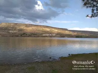
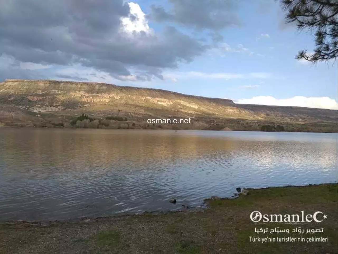
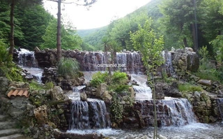
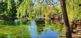
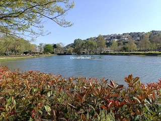
The dam was built between 1965 and 1971 for irrigation purposes, and provides irrigation services to an area of 1,390 hectares. Damsa Dam Lake, which is one of the most popular picnic and recreation areas in the area, is a place to sit among the pine trees and relax. You can take a stroll around it or fish in the lake.
This volcanic crater is an exceptional destination for nature lovers and geology enthusiasts. The site is known for its raw beauty and unique rock formations that take visitors on a journey through time. It is a peaceful spot, perfect for capturing breathtaking panoramic photos, where the grandeur of nature meets the magic of tranquility.
Garzavan Plateau is a stunning natural sanctuary that offers visitors a unique experience in the heart of mountainous nature. The plateau is characterized by its vast green expanses, crisp fresh air, and panoramic views that evoke peace and tranquility. It is an ideal destination for hiking enthusiasts, campers, and anyone looking to escape the bustle of dai...
A charming rural destination in Sürmene offering visitors a serene retreat amidst stunning nature, featuring relaxing seating areas, scenic views, and authentic local hospitality.
A unique architectural masterpiece reflecting the Black Sea's traditional style, featuring intricate wooden craftsmanship and serene views amidst the charming nature of Sürmene.
A historic structure representing the unique architectural heritage of the Sürmene region, serving as a distinct destination to experience traditional craftsmanship within a serene rural setting.
A charming and breathtaking mountain lake located above the peaks between Trabzon and Gümüşhane. Road Conditions: Extremely rugged and difficult. It is only recommended to reach it using four-wheel drive (4WD) vehicles or cars with high ground clearance. Hiking Option (for enthusiasts): For mountain hiking lovers, it is preferable to park the car in the vill...
Muradland Green Valley Resort in Trabzon is a peaceful destination surrounded by stunning nature, offering green landscapes and a relaxing atmosphere perfect for families and отдыха.
Yukarı Kavrun Plateau is one of the most stunning highland plateaus in Turkey’s Black Sea region, located in Çamlıhemşin, Rize, at an elevation of approximately 1,980–2,350 meters on the slopes of the Kaçkar Mountains. Known for its lush green landscapes, alpine streams, traditional wooden houses, and cool mountain air, it is a prime destination for hiking, ...
A modern mountain coaster in Trabzon (Yomra) featuring a track approximately 850 meters long, as part of a recreational project covering 25 dönüms. The project includes more than just the coaster, offering facilities such as a 420 m² restaurant, a 250 m² café, a 500 m² indoor children’s play area, as well as walking paths, green spaces, and an adventure park...
A modern and beautiful mosque in Trabzon, featuring elegant architecture that blends Ottoman style with contemporary touches. It is known for its large dome and slender minarets, and is considered one of the city’s notable religious landmarks, offering a peaceful atmosphere for worship along with scenic views of the sea and surrounding areas.
A enchanting lake surrounded by the heights of Sultan Murad, offering a peaceful and enjoyable environment for families or young people to spend a wonderful time in the heart of nature. Stunning natural scenery with views of the hills and the lake. The road is easy and paved, located about half an hour after Sultan Murad. A perfect spot for those who love tr...
Lake Tosunlu is a natural gem sparkling in the embrace of the village of Tosunlu in Ardahan. Formed annually by the melting of spring snow, it paints a breathtaking watercolor tableau with its emerald-green hues harmonizing with the azure sky. It becomes a pilgrimage for photography enthusiasts and nature lovers seeking unique shots, where the grandeur of th...
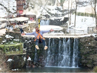
A stunning waterfall, renowned for its breathtaking view, becomes even more beautiful and powerful during the rains in May and October. It is an ideal destination for adventure lovers, but it involves high risks, especially when attempting to take selfies from the edge due to the dangerous slope. Recently, access has become easier thanks to the creation of a...
A breathtaking plateau famous for its stunning green landscapes, towering mountains, and fresh air, making it an ideal destination for nature lovers and those seeking tranquility. It features vast pastures used by local shepherds in the summer and is also a hotspot for tourists looking to relax or engage in activities like camping and long-distance hiking. I...
Hamskoy Peak Waterfall (The Miracle) is a natural masterpiece that captivates hearts with its breathtaking beauty. The area boasts fresh, crisp air and sprawling green landscapes adorned with vast meadows and lush trees. The river flows gently beneath the waterfall, creating a mesmerizing scene that evokes tranquility and relaxation. It’s the perfect escape ...
A magical place featuring stunning natural landscapes, dense forests, and flowing rivers. The resort offers a unique relaxation experience away from the hustle and bustle of the city, with the option to stay in traditional stone houses or luxurious cabins amidst nature.
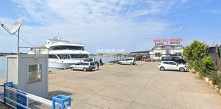
A group of tourism companies offers enjoyable cruises aboard large ships. These trips typically include tours to see marine landmarks and enjoy lunch on the ship. Visitors can enjoy stunning landscapes and feel the refreshing sea breeze. Small boats are a great option for those looking for a more private experience. Visitors can rent a private boat to explor...
A picturesque natural area with rivers, waterfalls and forests, in addition to restaurants, cafes, games suitable for adults and children, and safari trips. A beautiful and enjoyable family place.
Ma'shouqia waterfalls, more than 20 waterfalls, flow from Mount Kartepe, and the views are wonderful in the atmosphere of this picturesque place. There is a large group of wonderful restaurants and hotels, and most services are available.
A wonderful garden extending over a large area and covered with trees, including all public facilities such as children's games, restaurants, and seating areas, as well as a mosque.