Processing...

Clock tower

Coordinates 747 people viewed ID: 6293

Access Details

Bumpy road %0
Road distance 64M
Arrival time 1m
Taxi Fare
Live Weather & Visibility Telemetry
Live & Instant Update • Checked: 17:10
Horizontal Visibility
Clear & Excellent Visibility (43 km)
Current Temperature
15.4°C
Cloud Cover
23%
Wind Speed
4.9 km/h

Description

Scan QR QR code
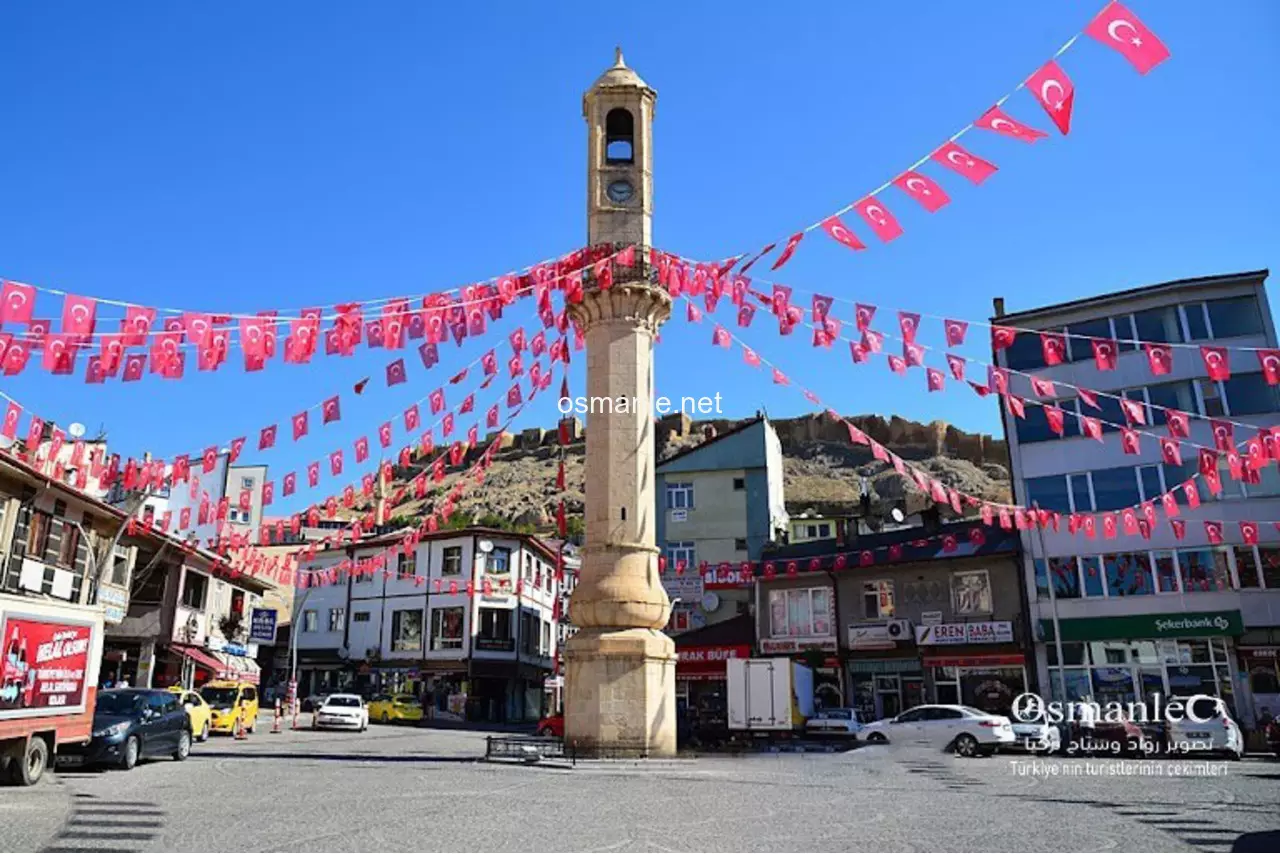
The clock tower, built in 1924 after the proclamation of the republic, by Rizli Ibrahim Usta according to some historical sources, and by the masters of Muhyiddin and Bakir who lived in the village of Tashcilar in Bayburt, according to some sources, the tower was built on a circular base and rises in an octagonal shape. The machine and the four clocks in it were brought from Germany and the tower is located at a height of 21 meters from the ground. The top of the tower is reached by a staircase consisting of 41 steps.

Location: Bayburt

Get directions

Nearby places & attractions
How far is it? Places in your area Search within range km

Regions
Restaurants
Hotels
Villas
Apartments
Cars
Telecom
The calculation accuracy of the distance and estimated arrival time is approximately 90%.
💬 Was this information helpful and accurate?

Comments

No comments has been added yet
Osmanle
Osmanle
Pro
🏆 Founding Expert
📍 Added 3937 tourist places
🏆 Osmanle Experts in Turkey

Do you know tourist places or routes? Share your experiences and earn a verified expert badge.

Recently Viewed Places

Batman
Malabadi Bridge
Osmanle 🏆 Founding Expert
Malabadi Bridge, which is known to have been built in 1147 by the Artuqids, the beginning of its construction phase dates back to the year 883 by Mulani, it is 7 meters wide and 150 meters long, has an arched and curved structure, which attracts attention, as it draws attention with the shape of the hand cut in the middle .
720 people viewed
%0
33K
31m
Kastamonu
Vala Valley
Osmanle 🏆 Founding Expert
Fala Canyon is the most difficult valley to cross in Turkey by length. It has a wild structure and stands out as being its most distinctive feature. Among the steep cliffs live eagle, falcon and some wild animals. The valley, which stretches for 10 kilometers, has high rocky slopes ranging from 800-1200 meters.


1.3 Thousand people viewed
%50
117K
2.05h
Hamsikoy
Kushendra
Osmanle 🏆 Founding Expert
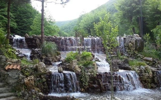
Kushendra is characterized by agriculture and livestock, and is rich in streams and small waterfalls.
2.5 Thousand people viewed
%20
40K
37m
Osmaniye
Mount doldol
Osmanle 🏆 Founding Expert
Mount Doldol, is the highest peak in the Amanos Mountains. The mountain with a height of 2448 meters above sea level is located in Osmaniye in all its glory. You will have a wonderful experience with the cable car at the top of the mountain and see the wonderful view of Osmaniye.
929 people viewed
%20
51K
51m
Plan your trip & save your favorite spots Create Free Account
Copyright © 2026 osmanle.net All rights reserved.
Non-logged user
Hello wave
Welcome! Sign in or register
Planning & Discovery
Travel Services
Community & Guides
App Icon
Osmanle App
Faster & easier guide for tourism in Turkey
Install on iPhone

Tap the Share button at the bottom of Safari, then select "Add to Home Screen" ➕

🚖

Estimated Taxi Fare Calculator 🚕

Destination (Arrival Point):
...
Departing from: ...
Estimated Distance: 0 km
Estimated Time: ~ 0 mins
Estimated Taximeter Fare:
0 ₺
($ 0.00)
💡 Information: Fares are taximeter estimates based on official rates and may vary with traffic, excluding electronic bridge/highway tolls (HGS).