Processing...

Gudit Dam

Coordinates 902 people viewed ID: 5843

Access Details

Bumpy road %0
Road distance 11K
Arrival time 17m
Taxi Fare
Live Weather & Visibility Telemetry
Live & Instant Update • Checked: 18:57
Horizontal Visibility
Clear & Excellent Visibility (25 km)
Current Temperature
22°C
Cloud Cover
10%
Wind Speed
5 km/h

Description

Scan QR QR code
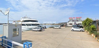
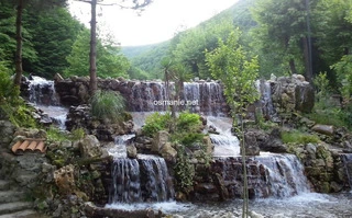
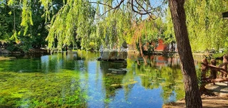
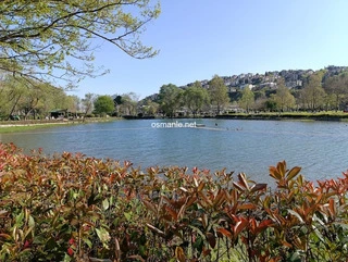
Gudit Dam, built in the 1980s to meet the irrigation needs of Karaman and surrounding areas, a very arid region, the dam and its surroundings are used as a recreational area by locals. The dam and its surroundings, which broke records in the occupancy rate, turned into a scenic natural beauty with the passage of time. The area preferred by those wishing to set up a tent camp has become a point of interest with its fresh air, especially in the hot summer days. You can take a walk in nature around the dam lake and catch fresh fish.

Location: Karaman

Get directions

Nearby places & attractions
How far is it? Places in your area Search within range km

Regions
Restaurants
Hotels
Villas
Apartments
Cars
Telecom
The calculation accuracy of the distance and estimated arrival time is approximately 90%.
💬 Was this information helpful and accurate?

Comments

No comments has been added yet
Osmanle
Osmanle
Pro
🏆 Founding Expert
📍 Added 3937 tourist places
🏆 Osmanle Experts in Turkey

Do you know tourist places or routes? Share your experiences and earn a verified expert badge.

Recently Viewed Places

Antalya
Metro
Hacı Saad Kebap
Osmanle 🏆 Founding Expert
One of the favorite restaurants of Antalya visitors due to its varied and rich menu of grills and appetizers, with a menu of traditional Turkish desserts, you will love the Doner Kebab, Grilled Chicken with Parmesan Cheese, and Batilikan Kebab with sliced eggplant, onions, grilled tomatoes and peppers.
767 people viewed
%0
0
0
Bayburt
Bayburt
Osmanle 🏆 Founding Expert
Bayport, it remained under the Kingdom of Pontus until the 1940s. The area ruled by Ortartus, the Umayyads and the Byzantines BC. In the seventh century it was flooded by the Scythians and Cimmerians. It remained under the rule of the Scythian Turks, also known as the Saka, until the Haldion came under their rule. It is possible to talk about a 5000-year-old...
955 people viewed
%0
0
0
Plan your trip & save your favorite spots Create Free Account
Copyright © 2026 osmanle.net All rights reserved.
Non-logged user
Hello wave
Welcome! Sign in or register
Planning & Discovery
Travel Services
Community & Guides
App Icon
Osmanle App
Faster & easier guide for tourism in Turkey
Install on iPhone

Tap the Share button at the bottom of Safari, then select "Add to Home Screen" ➕

🚖

Estimated Taxi Fare Calculator 🚕

Destination (Arrival Point):
...
Departing from: ...
Estimated Distance: 0 km
Estimated Time: ~ 0 mins
Estimated Taximeter Fare:
0 ₺
($ 0.00)
💡 Information: Fares are taximeter estimates based on official rates and may vary with traffic, excluding electronic bridge/highway tolls (HGS).